


Available Other Features
Missing Other Features
Pricing
Starting Price
Options
Available Since
Deployment Options
- Web Browser (Cloud - Based)
Good Option For
- Freelancers (1 person company)
- Microbusiness (2-10 people)
- Small Business (11-50 people)
- Medium Business (51-250 people)
- Large Business (250+ people)
Deep dive
oe Features
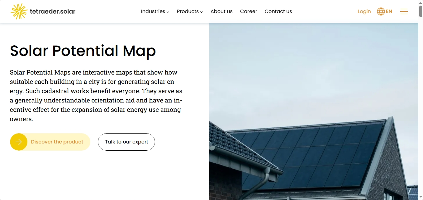
Solar Potential Map, known in Germany as Solarpotenzialkataster, uses three-dimensional surface models derived from aerial laser scanning or imagery and cadastral building data. The software identifies rooftop geometry and simulates sunlight exposure and shading to estimate solar suitability. Its main features include:
Rooftop Suitability Mapping: Displays building-level suitability for photovoltaic and solar thermal installations, using color-coded categories to distinguish rooftop potential.
Solar Irradiation Analysis: Calculates usable solar radiation across roof surfaces, accounting for roof geometry and shading effects.
Detailed Roof Segmentation: Identifies individual roof sections suitable for solar installations, helping users distinguish viable areas within a building's total roof space.
Interactive PV System Design: Allows users to position solar modules on rooftops and adjust their dimensions, performance characteristics, and orientation.
Financial Feasibility Assessment: Estimates investment profitability, amortization periods, financial returns, and electricity self-sufficiency using configurable economic assumptions.
Municipal Portal Customization: Provides locally configured map applications that municipalities can make available to residents, with hosting, maintenance, and updates supported by tetraeder.solar.
Closing Insights
Solar Potential Maps form part of tetraeder.solar's wider portfolio of geospatial planning and renewable energy assessment tools. The company reports having analyzed more than 135 million buildings across Europe, with several hundred German municipalities using its solutions. Its approach combines large-scale geographic data processing with accessible public-facing tools, allowing municipalities to assess solar opportunities while encouraging property owners to consider installations.
Beyond rooftop solar mapping, tetraeder.solar offers Green Roof Potential Maps, Energy Saving Potential Maps, and Open-space Photovoltaic Analysis for identifying suitable ground-mounted solar locations. Its separate Data Export service provides solar potential information in formats such as CSV and Shapefile, supporting further analysis, municipal energy planning, and commercial applications.
Solar Potential Maps are intended primarily as preliminary assessment and public information tools rather than substitutes for detailed engineering surveys. The company offers individually configured implementations, with acquisition costs and recurring monthly fees for hosting, maintenance, and system updates. Municipalities and other interested organizations can contact tetraeder.solar to discuss geographic coverage, data requirements, customization, and commercial terms.