


Available Climate Risk Management Features
Missing Climate Risk Management Features
Pricing
Starting Price
Options
Available Since
Deployment Options
- Web Browser (Cloud - Based)
Good Option For
- Small Business (11-50 people)
- Medium Business (51-250 people)
- Large Business (250+ people)
Deep dive
Core Features
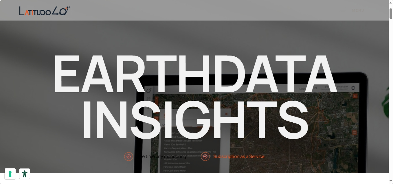
EarthDataInsights (EDI) combines Earth Observation data, geospatial analytics and predictive modelling. Users can begin with individual environmental datasets and add further layers as their monitoring requirements expand, while historical imagery supports longitudinal analysis. Key features include:
10-Metre Urban Heat Mapping: EDI provides Land Surface Temperature (LST) information at 10-metre spatial resolution, allowing users to locate urban heat patterns and examine temperature differences across streets, buildings, vegetation and other surfaces.
Multi-Layer Environmental Intelligence: Users can work with environmental layers covering areas such as vegetation, carbon storage, Urban Heat Island effects and flood risk, bringing different dimensions of urban climate performance into one spatial environment.
Historical Change Monitoring: EDI lets users select different time periods and access historical satellite imagery, enabling cities to examine how environmental conditions and land characteristics have changed over months or years.
Spatial “What-If” Simulations: AI-powered simulations allow organizations to evaluate proposed interventions rather than simply monitor existing conditions. Latitudo40 cites applications including modelling reforestation, urban heat mitigation and flood-risk interventions.
User-Defined Geospatial Layers: Organizations can upload their own layers and combine them with satellite-derived information, allowing local datasets and organizational information to be considered alongside Latitudo40’s environmental intelligence.
Collaborative Urban Living Lab: EDI’s Urban Living Lab functionality extends analysis into participatory planning. Public administrators, planners and citizens can annotate maps, attach documents and photographs, and discuss proposed interventions through geolocated conversations.
Closing Insights
EDI builds on Latitudo40’s experience making Earth Observation data accessible to users without specialist remote-sensing expertise. The company began this direction with Urbalytics in 2020 and subsequently expanded its technology through European space and urban-resilience initiatives, including ESA BIC, EUSPA’s Cassini Business Accelerator and the IRIDE Earth Observation programme.
EDI deployments include work for Doing Good, a sustainable development organization, using satellite data to assess land surface temperature, land cover and urban vegetation in Sweden and Tunisia, and for Dinapsis in Benidorm, where its datasets supported analysis of the cooling performance of urban green infrastructure. The company has also supplied geospatial intelligence to public-sector organizations including ENEA, Italy’s national agency for energy and sustainable development, and Statistics Canada, which used its satellite imagery and machine-learning approach to monitor construction activity and urban development.
EDI uses a subscription model, with pricing available by quotation. Its strongest proposition is therefore not satellite imagery alone, but making complex environmental data usable for ongoing monitoring, intervention modelling and place-specific climate planning.